Goods interchange centres
The features of this solution make it possible to:
- Dynamically configure operational facilities, vehicles, equipment, Transport Units, External Partners (Train Operators, Conveyors)
- Implement fully automated management of inputs and outputs (Train, Rubber)
- Locate in real time the operating vehicles and transport units within the Terminal
- Have centralized traffic control
- Directly integrate internal flow with external rail traffic control systems
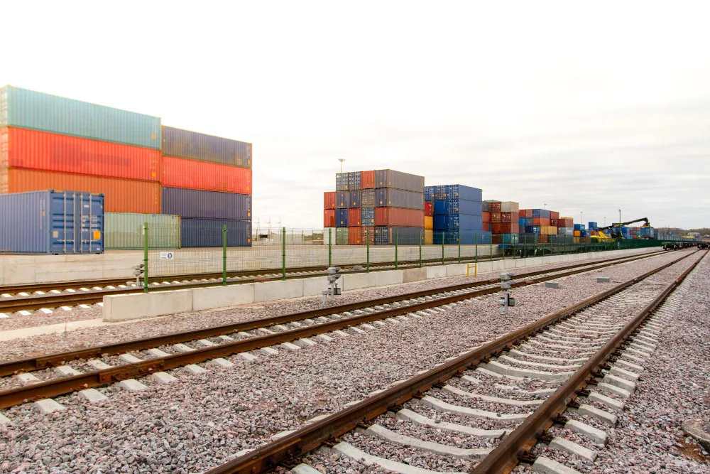
The system operates through a geographical diagram of the Terminal, divided into specialized transit and stationing zones where moving boxes and other objects in transit are located.
The virtual map is associated with a continuous location logic of the location of the vehicle and its cargo, through the use of satellite technology that provides additional information on usage (fuel consumption, speed, miles traveled).
On-board terminals display the commands to be carried out and make it possible to confirm correct execution and report any anomalies and changes in behavior that have occurred during the execution of activities.
Terminal operators, through the central control system, are able to govern the operational process and intervene by correcting any anomalies and situations not automatically resolved by the control system.
The reduction of 50% on UTI retrieval time and 25% on train loading/unloading time can thus be achieved.